PARTNERS
PROGRAMS
eMOLT (environmental Monitors on Lobster Traps and Large Trawlers)
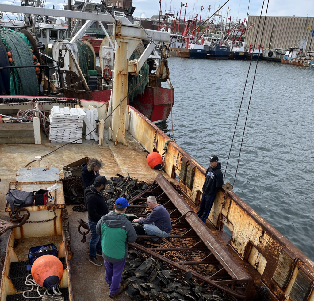
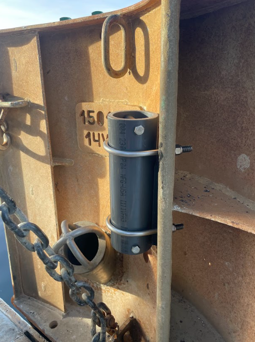
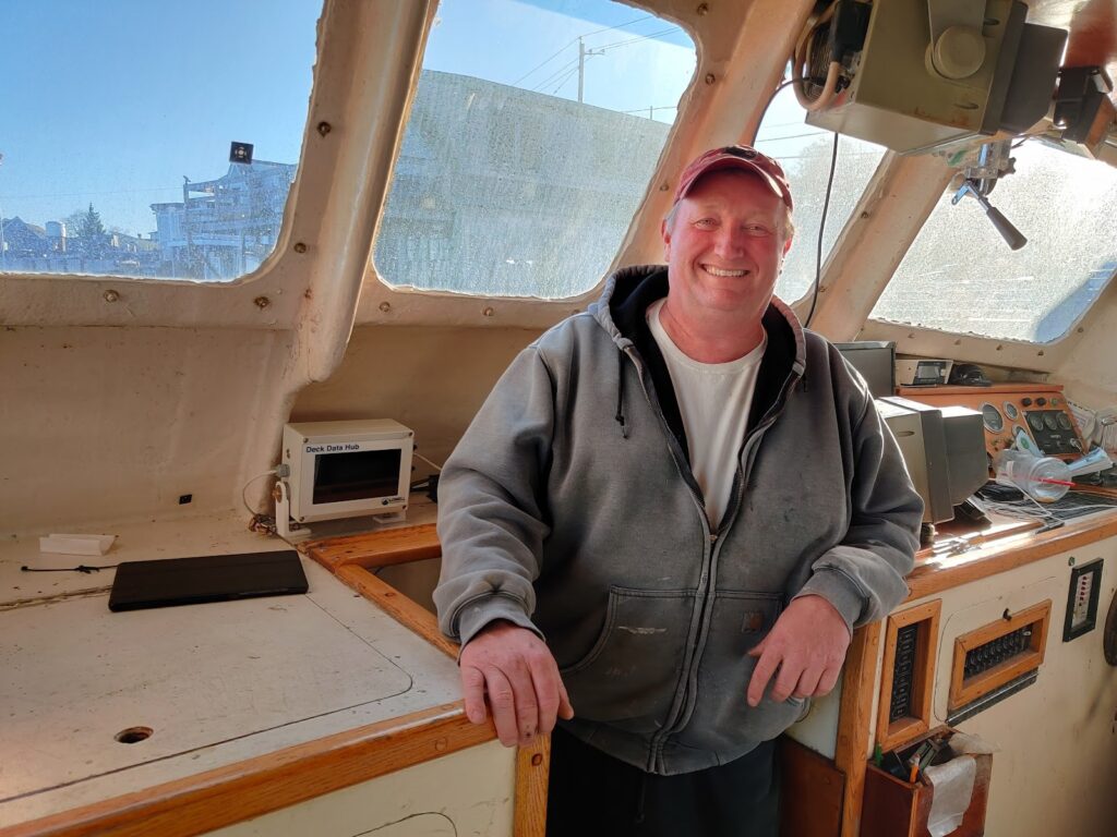
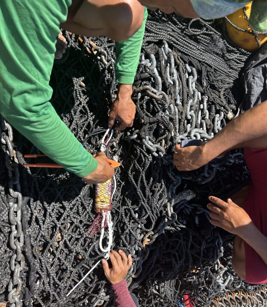
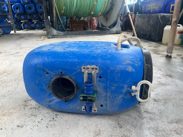
More than 100 fishing vessels in the Northeastern United States are involved in the Environmental Monitors on Lobster Traps and Large Trawlers (eMOLT) program. They attach low-cost oceanographic sensors to their gear to collect bottom water temperatures, temperature profiles, and dissolved oxygen data from their fishing grounds. These data are transmitted in near-real time to the vessel and back to shoreside servers where they can be made available to ocean forecasters, stock assessment scientists, and other researchers.
As of March 2025, eMOLT data are assimilated into the Doppio Regional Ocean Model and the Northeast Coastal Ocean Forecast System. Additionally, eMOLT data were used to inform environmental covariates in the 2020 American Lobster Stock Assessment and are being aggregated with other in situ observations to create a gridded bottom temperature product for the shelf off the Northeastern United States that will eventually be used to ground truth modeled bottom temperatures that are fed into stock assessments. Finally, eMOLT data and the forecasts they inform are used by participating fishermen to inform their fishing decisions, including:
- Better understanding of water temperature driven spawning dynamics in surf clams and ocean quahogs – spawning also drives down meat yield
- Knowing where hypoxic zones are setting up to avoid deploying fishing gear in those locations
- Following subsurface water masses to keep up with fish responding to changes in bottom temperature
- Using bottom temperature forecasts to narrow their search efforts and save fuel
- Avoiding temperature sensitive bycatch species such as spiny dogfish (Squalus acanthias)
Bahamas
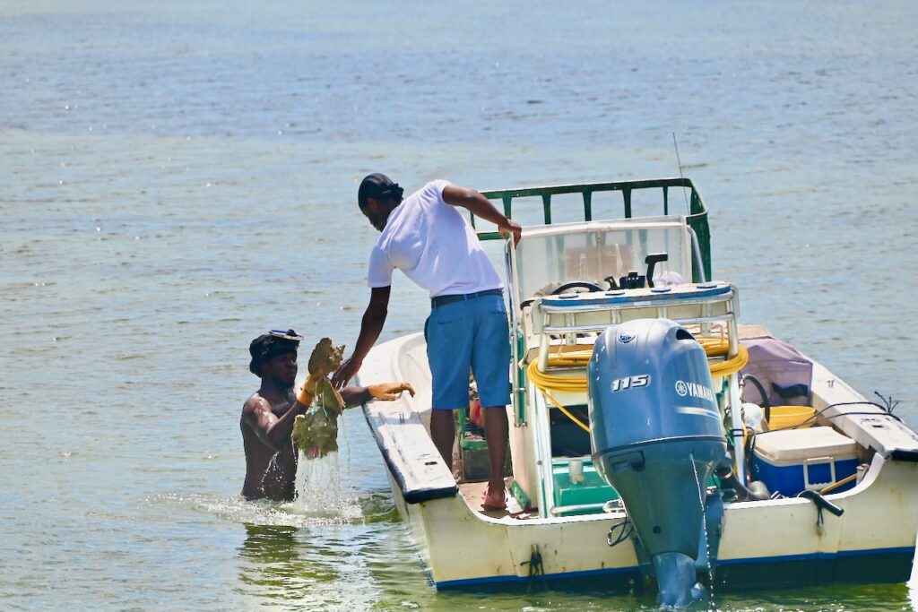
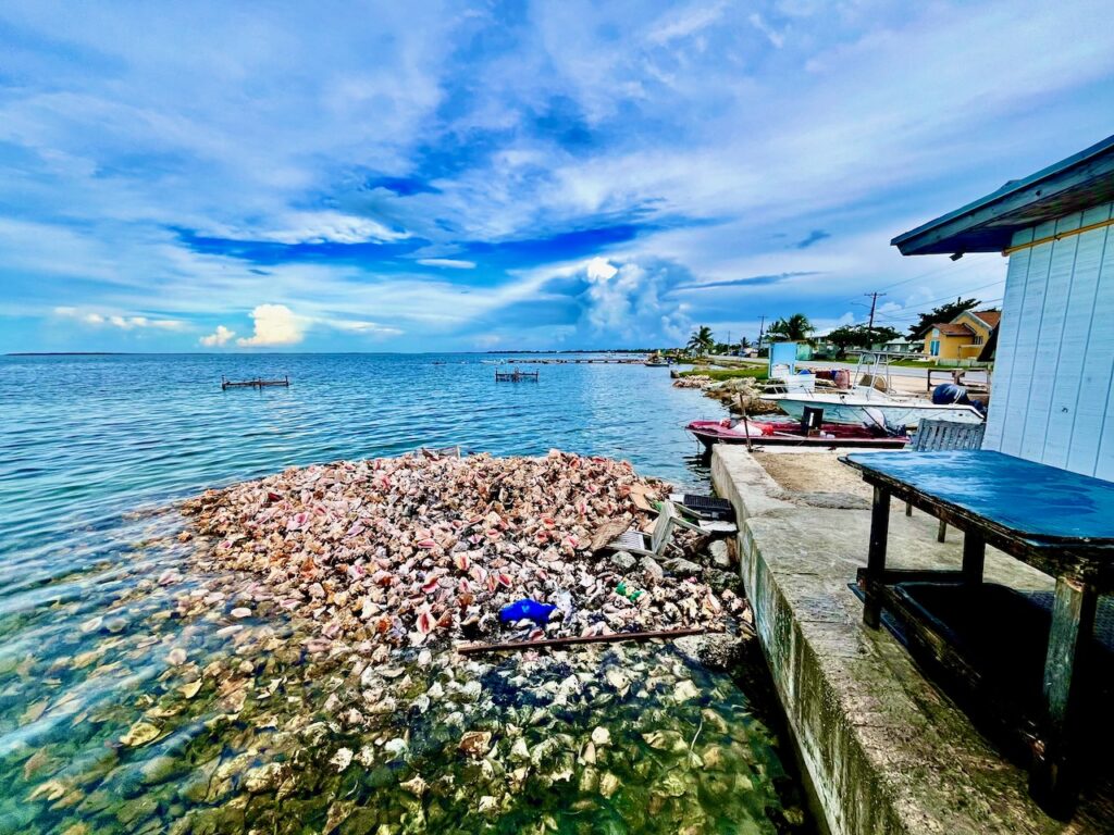
In August 2024, FVON finished installing sensors on thirteen vessels in The Bahamas just in time for the most high-risk months of hurricane season to arrive. As of March 2025, the vessels have collected over 2600 temperature-depth profiles over a broad geographic scope, covering areas surrounding Andros, New Providence, Eleuthera, Moore’s Island, Crooked Island, Long Island, and Grand Bahama.
The observations in The Bahamas have been key to bridging data gaps in hurricane forecasting. A data pipeline funnels the measurements to the Bahamas Department of Meteorology, the National Oceanic and Atmospheric Administration’s (NOAA) Environmental Modeling Center (EMC), and the Atlantic Oceanographic and Meteorological Laboratory (AOML) for hurricane forecasting, via the Global Telecommunication System (GTS). Forecasters then access the data and use it to improve predictions, inform disaster preparedness and response, and save lives. When Hurricane Oscar hit parts of The Bahamas in October 2024, FVON vessels were actively collecting data and observing the hurricane’s rapid cooling effects.
Local partnerships have been essential to the pilot. Fishers and mail boat operators are eager to lead data collection efforts and contribute to improving the climate resilience of their communities. Local contacts at The Bahamas Department of Meteorology, The Bahamas Commercial Fishers Alliance, the Caribbean Network of Fisherfolk Organizations, and University of The Bahamas have been instrumental in project design, implementation, and grassroots engagement.
Read more about FVON-Bahamas at EDFish.
AdriFOOS (Adriatic Fishery and Oceanography Observing System)
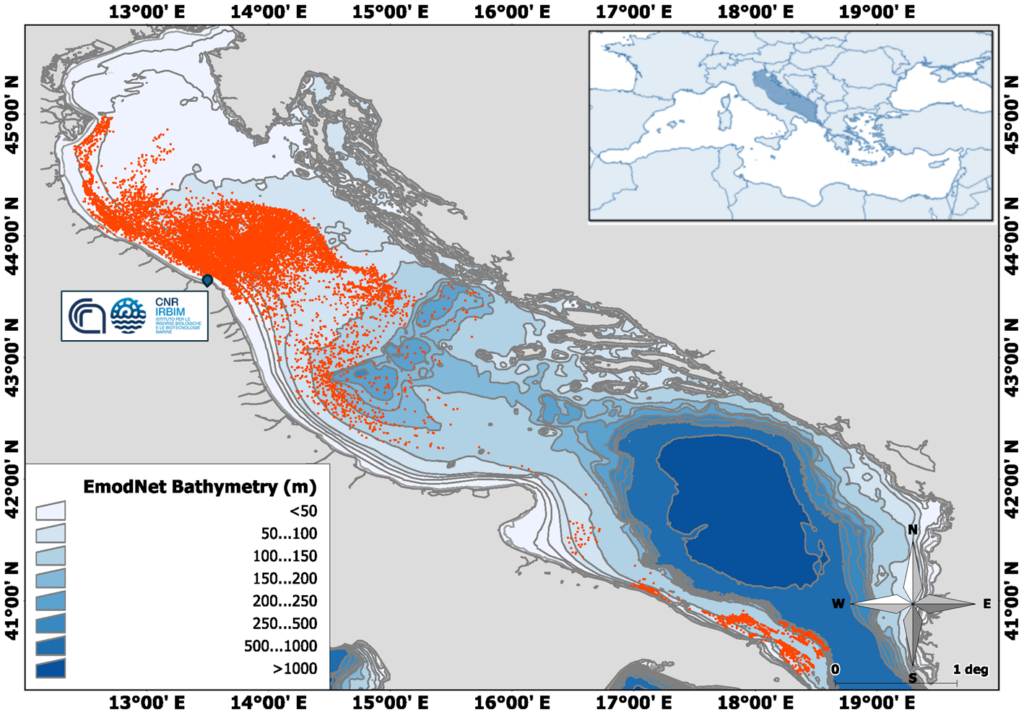
One of the pioneering programs that started collecting oceanographic data through fishing vessels since the early 2000s is the Fishery Observing System (FOS), managed by CNR in the Adriatic Sea (Falco et al. 2007). A sample of commercial fishing vessels, targeting small pelagic species in the Adriatic Sea, was equipped with a system for the collection of information on catches, position of the fishing operation, depth, and water temperature during the haul, producing a huge amount of data useful for both oceanographic and fishery biology purposes. Data produced from 2003 to 2013 through this approach proved to be useful for feeding oceanographic models and expanding knowledge on climate change, as well as improving the ecosystem approach to fisheries management (Carpi et al. 2015; Russo et al. 2015; Aydoğdu et al. 2016; Russo et al. 2016; Lucchetti et al. 2018).
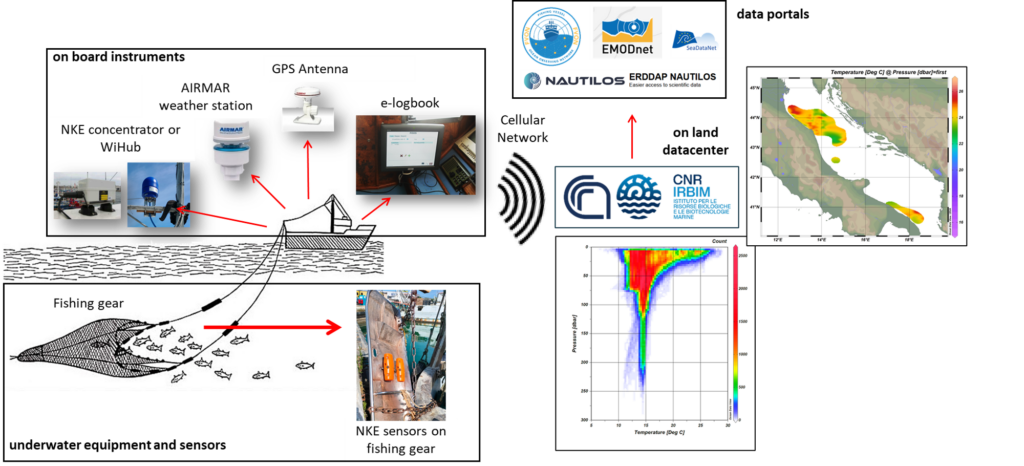
In 2012, in the framework of some national and international projects (e.g. CNR SSD-Pesca project, EU FP7 JERICO project), CNR started the development of a new modular Fishery and Oceanography Observing System (FOOS; Patti et al. 2016). A set of sensors for oceanographic and meteorological data currently allows FOOS to collect more parameters, with higher accuracy and precision, and to send them in near real time to a data center on land. Furthermore, FOOS is a multifunctional system able to collect different types of data from fishing operations and to send information to fishermen (e.g. weather and sea forecasts) via an electronic logbook with embedded ad hoc software. The adoption of different FOOS modular setups installed on various kinds of fishing vessels (e.g. pelagic pair trawlers, bottom trawlers, etc.), targeting different resources, allowed a spatial extension of the monitored areas in the Mediterranean Sea.
Then CNR implemented the AdriFOOS observational infrastructure composed of a multifunctional dedicated on-land data center and a series of FOOSes installed on board commercial fishing vessels operating in the Adriatic Sea (Penna et al. 2023). The AdriFOOS data center receives daily datasets of environmental parameters collected through the water column and near the seabed (temperature, salinity, etc.), together with GPS haul tracks, catch amounts per haul, target species sizes, and meteorological information. The datacenter is equipped with tools that allow to perform QC of the data and the information is accessible through the AdriFOOS web services under different access levels (a sample of data collected by AdriFOOS in the latest period can be visualized through http://foosweb.irbim.cnr.it/ using username: foosample and pwd: fsA@23.mp). A huge amount of data collected since 2012 was published and is also accessible through international data services as EMODnet.
Demonstrations of functionality were carried out in the framework of various European projects (e.g. Sparnocchia et al. 2017). CNR AdriFOOS staff contributed to the definition of internationally recognized best practices (Möller et al 2019; Van Vranken et al 2020). AdriFOOS is among the first programs laying the foundation of the global Fishing Vessel Ocean Observing Network (FVON; Van Vranken et al. 2023).
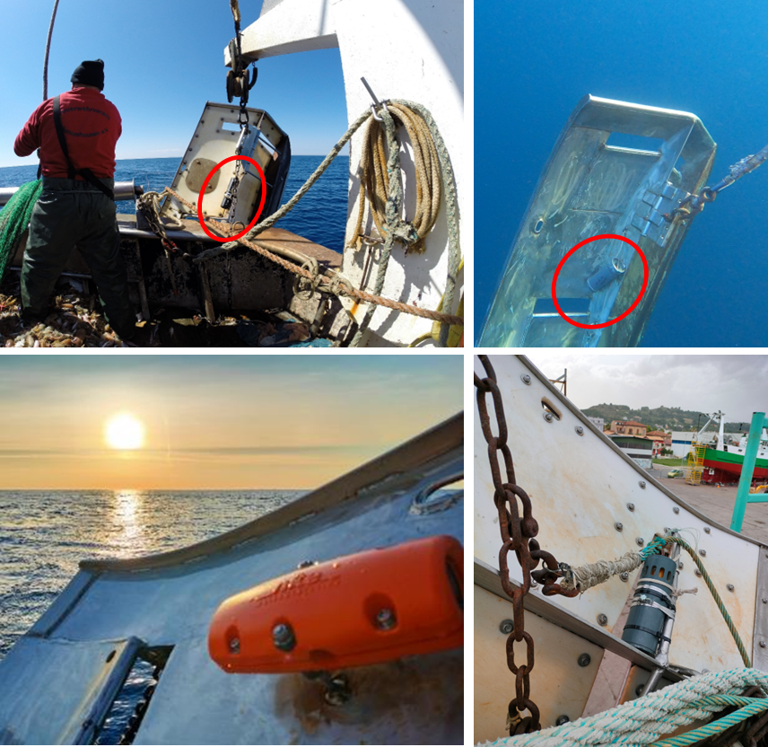
AdriFOOS also serves as an internationally recognized testing platform for new oceanographic sensors designed for use with fishing gear. This started with studies conducted within the JERICO project to compare pressure, temperature and salinity datasets produced by compact sensors used on fishing gear with traditional oceanographic ones (Martinelli et al. 2016). In fact, the sensors need to be tested to determine the accuracy of the datasets produced and the optimal operating conditions need to be defined. Testing the sensors against traditional oceanographic instruments also allows the raw data to be corrected with calculated offsets when needed. The knowledge gained in this context is made available to conduct intercalibration experiments performed within FVON.
Within the EU FP7 NEXOS and the H2020 NAUTILOS projects, CNR AdriFOOS staff also supported the development and testing of new oxygen and fluorescence sensors designed for use on fishing gear (Martinelli et al. 2023; 2024).
Ghana
There is a huge imbalance between Northern and Southern Hemispheres in the capacity to observe the oceans. In collaboration with the University of Ghana and POGO, we are supporting a pilot network network in Ghana that provides critical subsurface observations to improve ocean modeling in a historically data sparse region. We hope the pilot will lay the foundation to establish large-scale fishing vessel based ocean observation networks in the Gulf of Guinea and beyond.
SFiN (Smart Fisheries Network)
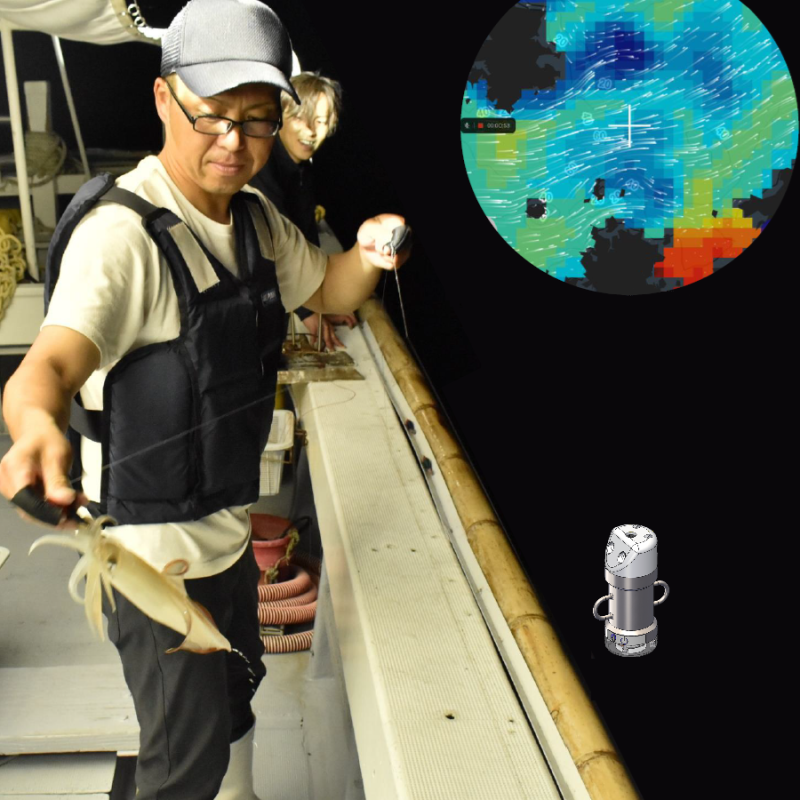
To enhance Japan’s coastal fisheries, SFiN aims to provide predictions of coastal oceanic conditions, transforming fishing into a more planned, data-driven, and cost-efficient industry. This is achieved by gathering and assimilating real-time in situ water temperature and salinity measurements collected by coastal fishers. Originally launched as QSF (Kyushu Smart Fisheries) in 2017, the project now records over 13,000 casts annually. The highly accurate coastal ocean predictions, including flow field data, are distributed and have become an essential tool for both experienced and new fishers.

Fishing Vessels as Ships of Opportunity Observing Programme (FishSOOP)
The IMOS FishSOOP Program began life as the Moana project in New Zealand in 2017, which Moninya led from 2017-2020, before gaining traction in Australia in a trial co-funded by the Fisheries Research & Development Corporation (FRDC), Australia’s Integrated Marine Observing System (IMOS) and UNSW Sydney. In 2024, IMOS endorsed the project as an ongoing ocean observation network called FishSOOP to complement existing ocean observing infrastructure, e.g. moorings, gliders, Argo floats, etc.
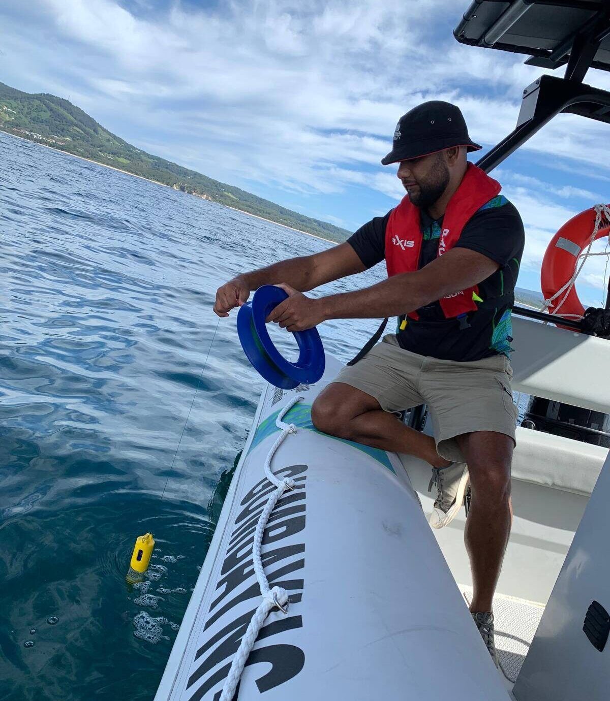
FishSOOP works with fishing companies and vessels from around Australia, the Southern Ocean and the Western/Central Pacific in collaboration with IMOS. Together we collect near real-time sub-surface temperature measurements using high resolution, low impact ‘MoanaTD’ sensors from ZebraTech Ltd and we share the high-quality data through an open access portal. As of April 2025, there were 62 vessels active in the programme with companies as far afield as Punta Arenas (Chile), Port Louis (Mauritius), General Santos (Phillipines), Suva (Fiji), and every state in Australia, with more coming online each month.
Key attributes:
- Data impact for the individual fisher – The fisher who gathers the data is often the primary recipient/user of the data. Fishers can opt to receive a data summary via email every time they gather data, allowing them to use this information to make dynamic operational decisions (e.g. where to fish, how deep to set lines, and which species to target). Over a longer period, they can also relate their (private) catch information to the sub-surface temperature information provided.
- Universal data access – All data gathered by FishSOOP are made freely available anonymously online under a Creative Commons Licence by Attribution Licence (CC BY 4.0). The data are quality controlled and anonymised before being transferred to the IMOS Australian Ocean Data Network (AODN) portal in near real-time for uptake. The data is available to download via this link.
- Variety – The robust and compact Moana sensor can be installed on a wide variety of commercial fishing gear (e.g. bottom and midwater trawls, scallop dredges, demersal and pelagic longlines, gillnets, otter board trawl nets, purse and Danish seine nets, pots, traps, and squid jig gear). Sensors have also been deployed by recreational fishers, Sea Country rangers, and citizen scientists.
- Simplicity and speed – Once installed, the instruments operate with minimal human intervention and communicate directly to a solar powered deck box, transmitting data in near real-time via cellular network or the vessel’s Wi-Fi (when available).
Further information is available via the following websites:
IMOS FishSOOP | Coastal and Regional Oceanography Lab – UNSW Sydney
